

Monte Moria Provincial Park (Lugagnano/Morfasso)
Over 1,000 hectares of woodland and ancient chestnut groves with CAI hiking trails. Cool in summer, spectacular foliage in autumn. About 45 minutes from the Podere.
A natural oasis of over 1,000 hectares along the watershed between the Arda and Chero valleys, in the municipalities of Lugagnano and Morfasso. The park covers a small ridge plateau at around 1,000 metres above sea level, with eight peaks including the Croce dei Segni (1,073 m), the highest. Established in 1925 to protect the woodland heritage, it is considered the green lung of the province of Piacenza.
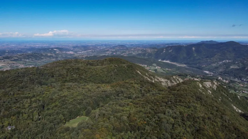
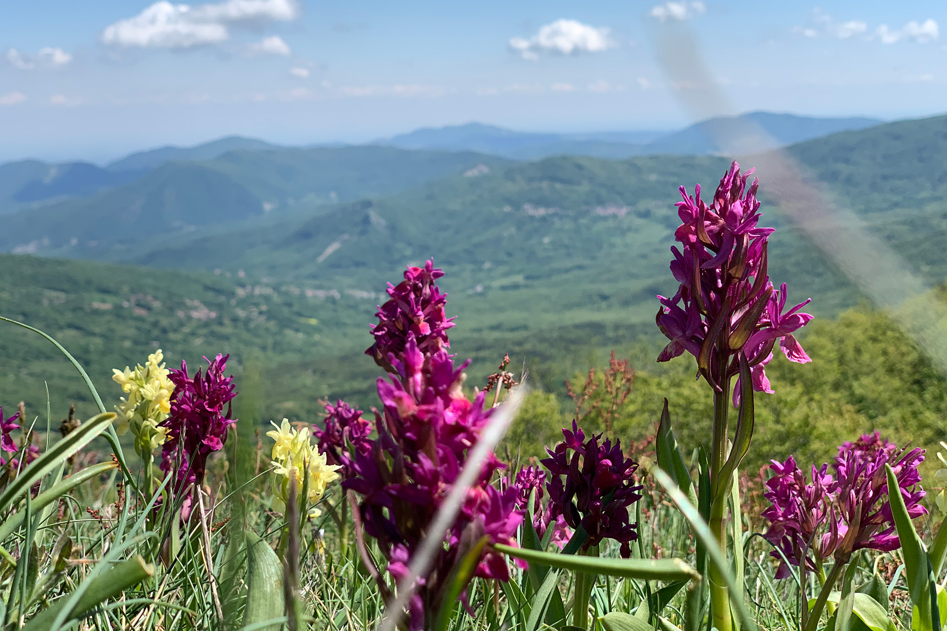
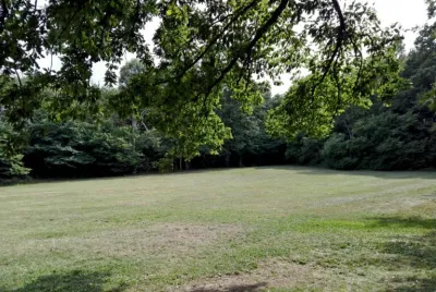
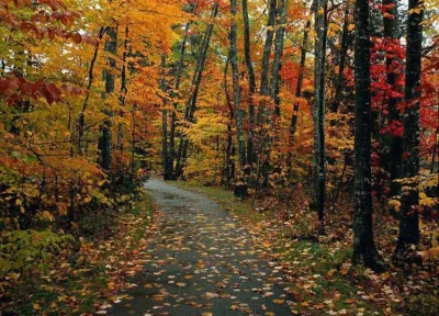
The landscape alternates between dense chestnut woods — many specimens are centuries old with wonderfully gnarled shapes — and grassy clearings and pastures. As you climb towards the Croce dei Segni, chestnuts give way to beech trees, while the more open areas are dominated by broom and juniper. The woods are home to wild boar, fallow deer, badgers, foxes, squirrels, buzzards, woodpeckers and sparrowhawks.
Several marked CAI trails (915, 911, 911A) allow hikes of varying length. The most popular route is a loop of about 5 km with 150 m elevation gain — roughly one hour and fifteen minutes of walking — passing Monte Rovinazzo, the Oratorio della Madonna del Monte and the park refuge. The trails can be explored on foot, on horseback or by mountain bike.
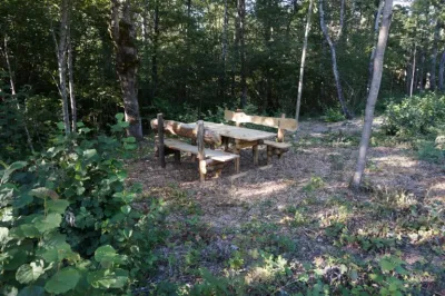
At the heart of the park there is a refuge with a restaurant — a good place to stop for lunch surrounded by woodland. The best season runs from spring to autumn: in summer the forest is cool and shady, in autumn you can gather mushrooms and chestnuts among the foliage colours.
Tip: bring hiking shoes and water. It's a half-day well spent for anyone who loves walking in nature. The last stretch of road is a narrow but paved mountain road.
About 45 minutes from the Podere. Last stretch on a mountain road. Refuge with restaurant at the centre of the park.
Mentioned in guides